Showing posts with label maps. Show all posts

Lewisham: It's been emotional

Ned Flanders: How about it, Homer? Will you teach me the secret of your intoxicating lust for life?
- The Simpsons

Greater Brockley is stuffed full of self-centred, emotionally unstable, thrill-seekers according to a team of international researchers, who examined 56,000 Londoners who took part in the BBC's Big Personality Test between 2009 and 2011 to create a psychographic map of the capital.

Lewisham is among the most emotionally volatile boroughs, as anyone perusing the pages of Brockley Central might be inclined to agree.

The most important and least surprising finding was that there is a sharp temperamental divide between inner and outer London, providing more evidence that there are essentially two Londons. Inner London is populated by extroverts who crave experience and enjoy diversity and outer London is inhabited by Ned Flanderses - more agreeable and conscientious than we Homer Simpsons.

Click here for The Telegraph's interactive map.

BC - The Observable Universe

John Bingham-Hall is a locally-based PHD student studying the impact of hyperlocal communities like this one. He put his findings into a fancy powerpoint and managed to wangle himself a nice trip to LA to present it - BC wishes we'd thought of that.

Anyway, his work is very interesting and part of his focus is on our Twitter community (at time of writing approximately 7,100 people strong) and he's written about some of his findings here.

We think what he is saying is that the family that Tweets together also tends to hang out together - that the clusters of online influencers tend to mirror the physical clusters. And that for the most part, local businesses play a key role in building virtual communities as well as physical ones.
He writes:

We created a network map of following relationships between all of Brockley Central’s followers. We found that a few local big players like businesses and journalists dominate the Twitter scene while the vast majority of individual residents have very few followers within the local network. 

Using network software Gephi we analysed the network to see how it naturally concentrates into clusters of following that in network science terms are thought of as modularity classes or “communities”. For the 300 most connected profiles in Brockley Central’s network we assigned them a latitude and longitude wherever possible, for example for businesses that have a specific location. Once we added in the community cluster data (as separate colours) and the number of connections (as size) for each location we saw some interesting results. 

The network communities, which as a reminder are determined purely as concentrations of interconnection on Twitter, were also geographic communities concentrated in places like Deptford & New Cross, and Peckham & Nunhead. Furthermore the profiles along Brockley Road (in pink) tended to be the most popular ones, presumably as they are the most visible in Brockley’s focal public spaces (except for local Twitter behemoths Brockley Market).

The North South Divide

Ndnd: It is true what they say... Women are from Omicron Persei 7, men are from Omicron Persei 9.
- Futurama

This map by the Future Cities Catapult, which divides the capital's population into eight typologies, illustrates the schism in the Greater Brockley hive mind.

The Whereabouts Map
North and Central Brockley is dominated by types 4 and 5 - young, single, car-less, child-less and mortgage less. Telegraph Hill and the southern end of Brockley, including Crofton Park and a large swathe of land running from Honor Oak through to East Dulwich are dominated type 1s - older, home-owning commuters. Pockets of West Brockley, Nunhead and Deptford have a type 8 profile - the youngest average age of all, most likely to be victims of anti-social behaviour and most likely to live in affordable housing.

These divides are largely dictated by the housing stock and are not all that surprising, but it's interesting to see where the fault lines lie and which areas have most in common with each other. Demographically, for example, central Brockley has more in common with central Lewisham, Blackheath and Greenwich than Crofton Park and Telegraph Hill. Likewise, the area around New Cross Gate has less in common with Deptford or Telegraph Hill than it does with Nunhead and the Brockley conservation area.

The methodology is explained here.

North London's hand-drawn domination

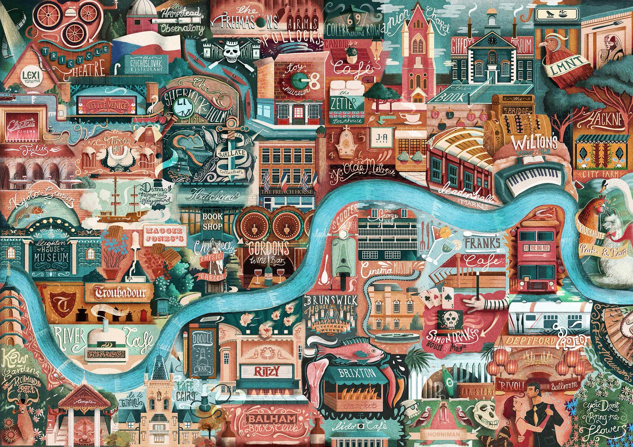
Courtesy of @YourButler comes this Vettriano-esque @glplondon map of London, starring the Rivoli, the Big Red Bus and the Deptford Project, sadly on ice. Click here for details.

Putting Brockley on the map

Come one, come all, to see our latest creation, the Brockley Central Guide to Brockley! We hope this map will help existing residents discover new places that we love, and help newcomers see just what Brockley and the wider area has to offer, when you look a bit deeper!

We've tried to pick the cream of the crop - there was no way every cafe and takeaway of Brockley was going to feature here. We expect what is (and more likely what isn't) featured here to generate some debate from you lot, so this is an ongoing project that we'll be adding to as Brockley blooms!

Use the buttons to move around the map and zoom in or out. Click the drawing pins to see more information and links where appropriate. Click here to view the Brockley map in full (opens in new window).